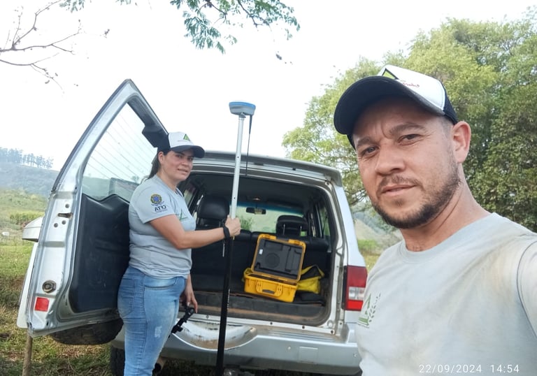
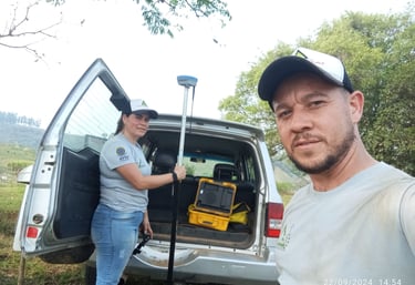
black and white bed linen

Soluções em Topografia, Georreferenciamentos e Assistência Técnica ao Produtor Rural

Precisão, Qualidade e Responsabilidade Técnica em cada projeto realizado

5 estrelas de satisfação

★★★★★

Sobre Nós

Especialistas em topografia e georreferenciamento com mais de 10 anos de experiência em soluções precisas e confiáveis.

Hands are holding a topographic map and a compass. One hand is pointing at a specific location on the map, indicating navigation or orientation. The map is detailed with green shades, representing terrain or elevation.
A metal topographical indicator displaying various landmarks, distances, and heights is prominently in focus. The background reveals an out-of-focus rocky terrain and a blurred figure of a person, suggesting an outdoor, elevated setting.

Nossos Serviços

Oferecemos soluções precisas em topografia e georreferenciamento com mais de 10 anos de experiência.
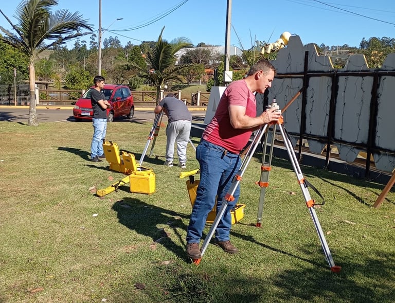
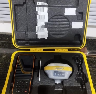
Topografia Avançada

Serviços técnicos especializados em topografia, garantindo precisão e confiabilidade em cada projeto realizado.

A close-up black and white photograph of a detailed topographic map. The map features contour lines, place names, and various markings indicating geographical features. It appears to be held in a hand, positioned at an angle that highlights its texture and intricate details.
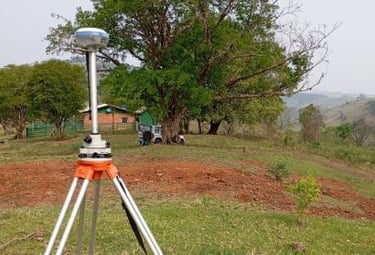
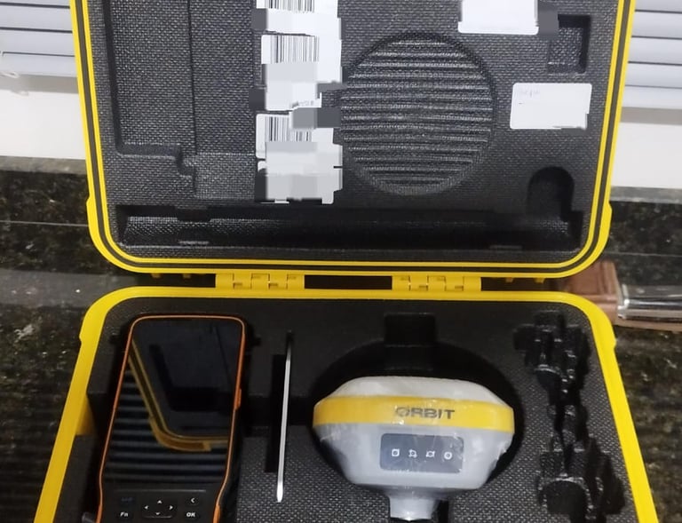
Georreferenciamento Eficaz

Realizamos georreferenciamento com tecnologia de ponta, assegurando a qualidade e a eficiência dos resultados.

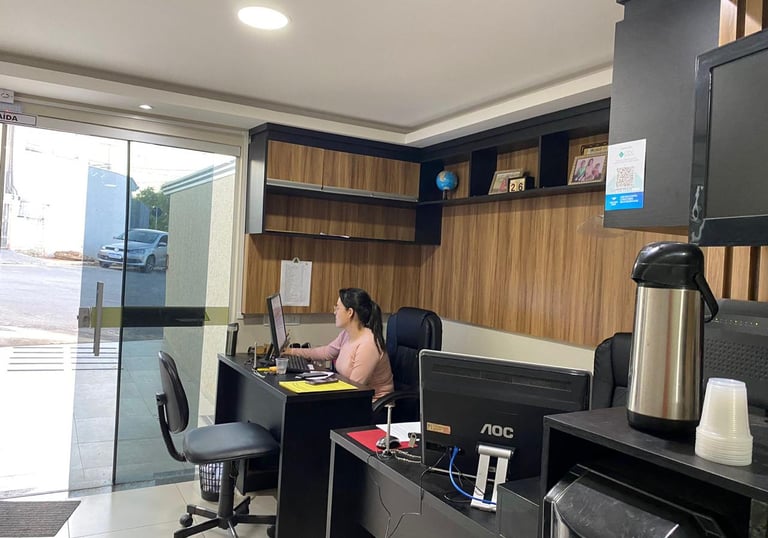
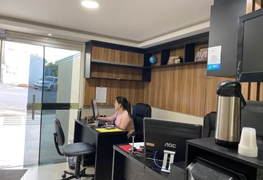
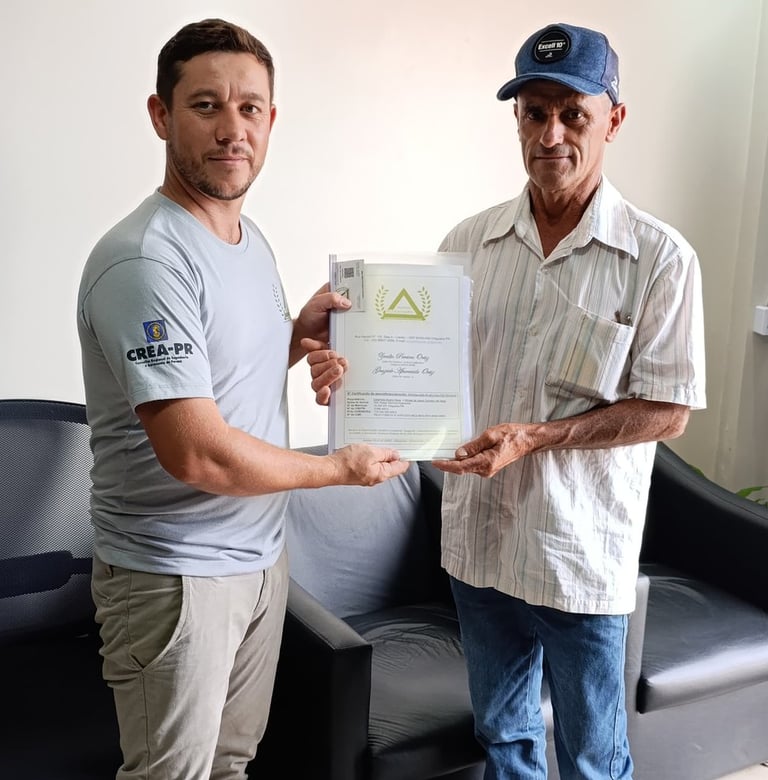
Assistência Técnica Especializada

Suporte técnico para empresas e particulares, focando na excelência e na satisfação do cliente.
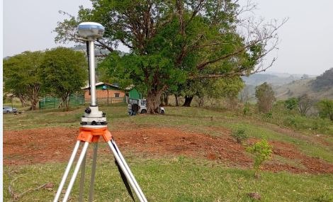
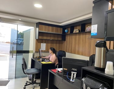
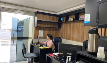
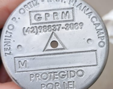
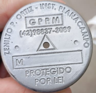
A black and white photograph of a close-up hand holding a detailed topographical map. The map displays contour lines, bodies of water, and textual labels of locations such as Thayer Lake. The background is blurred, suggesting the photo was taken inside a vehicle.
A close-up view of an old, detailed map with intricate topographical features. The map has various shades of green and brown, indicating different elevations and terrain types. Small markings and labels are scattered throughout, suggesting towns or landmarks.

Galeria

A vintage, detailed topographic map displaying various geographical features, roads, and names of locations. The map appears to be old, with a sepia tone and visible creases, indicating wear and age.
A topographic map featuring contour lines indicating elevation changes, with labels for elevation values. The term 'North' is marked on the map. There are some small blue areas that likely represent water bodies, and a larger brown area possibly representing a peak or significant landscape feature.
An aerial view of a mountainous landscape, displaying a natural array of jagged peaks and valleys. The terrain is rugged with a combination of steep slopes and ridges interspersed with flatter areas, possibly representing terraces or fields. Shadows and light create a high contrast effect, highlighting the topographical texture.
A detailed topographical map with green, blue, and brown areas indicating various terrain features such as forests, rivers, and elevations. The map is slightly crumpled, adding a textured appearance.
A satellite image that depicts a vast expanse of rugged terrain with visible mountains and valleys. The landscape reveals varying elevations with lush greenery concentrated in some areas, indicating vegetation, while other sections are more barren. The left side is bordered by a dark space representing a large body of water.
An aerial view of a vast landscape featuring a patchwork of fields, with variations in terrain, showing valleys and rivers. The land appears to be a mix of agricultural and natural areas, with roads and small buildings scattered throughout. The topography includes some elevated regions and woodland areas.

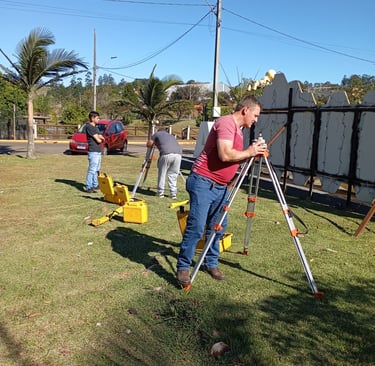
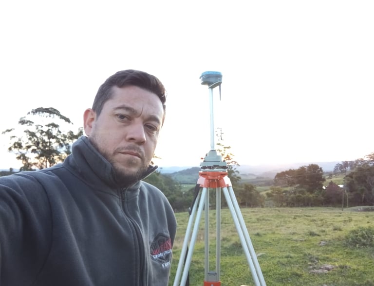
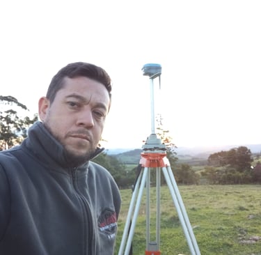
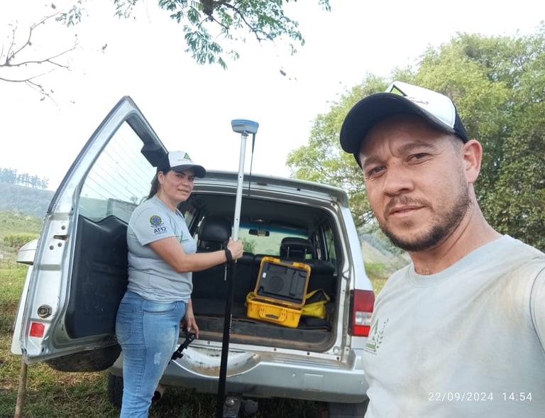
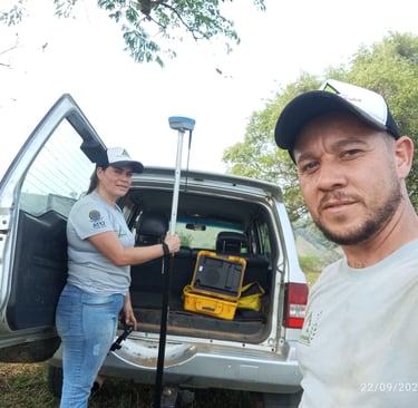
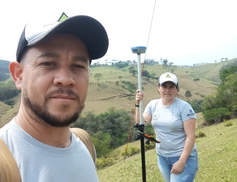
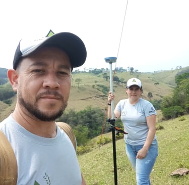
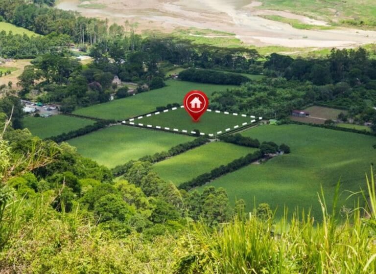
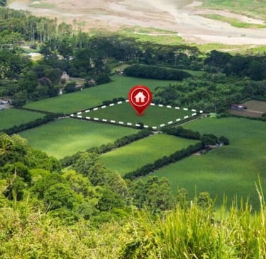
Explore nossos projetos de topografia e georreferenciamento realizados.

Serviço excepcional, equipe competente e resultados precisos. Recomendo a Planacampo para qualquer projeto topográfico.

João Silva

A detailed topographic map is laid out on a wooden table. On top of the map, there is a green camping mug filled with a brown liquid, and an orange plastic spork is resting inside the mug.
A satellite image of a mountain surrounded by lush green vegetation. The mountain features a clearly defined crater and is situated near a coastline with dark blue waters. The topography of the landscape shows various textures, indicating different land uses or types of vegetation.

★★★★★